High ground
Mountain ridge
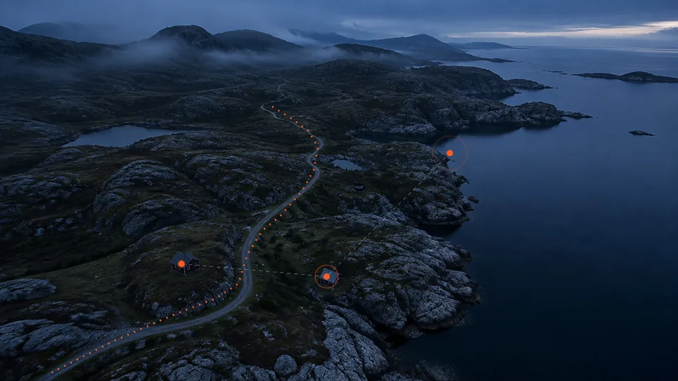
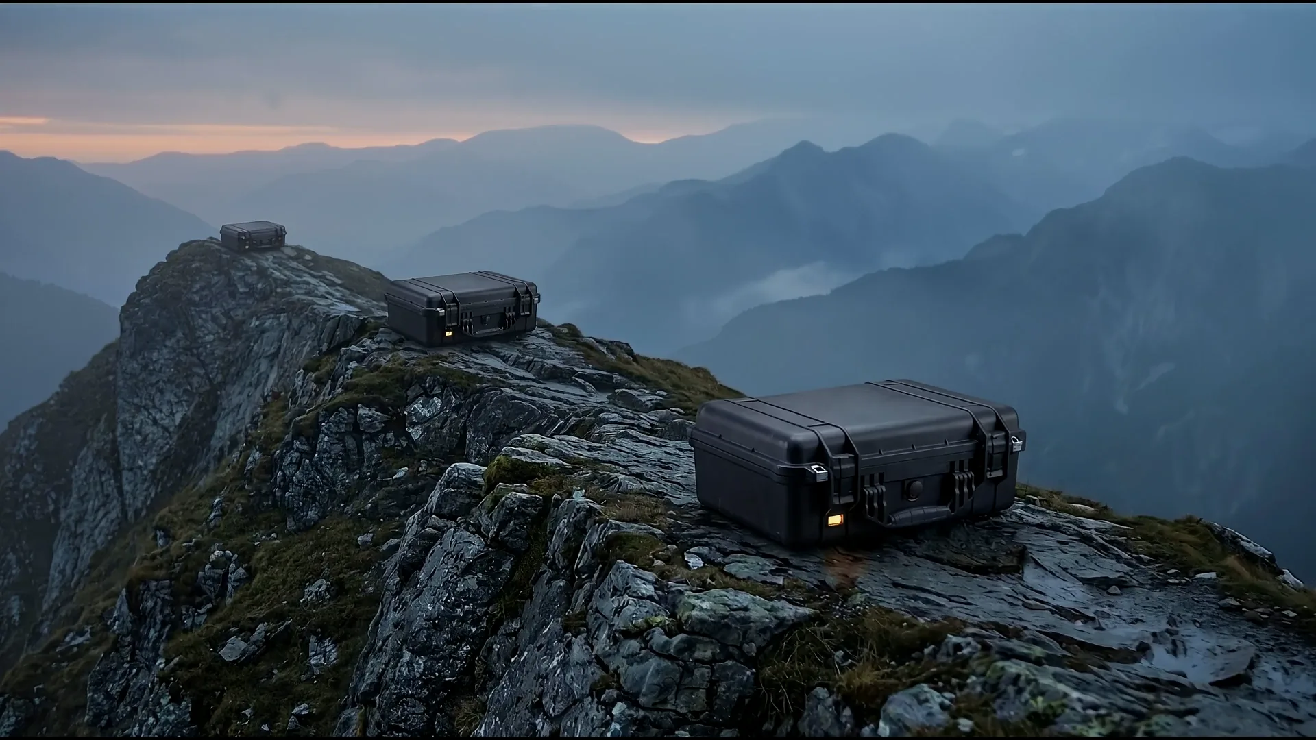
Three nodes along one ridge line.
 HARDPOINT/AI
Contact
Scroll down
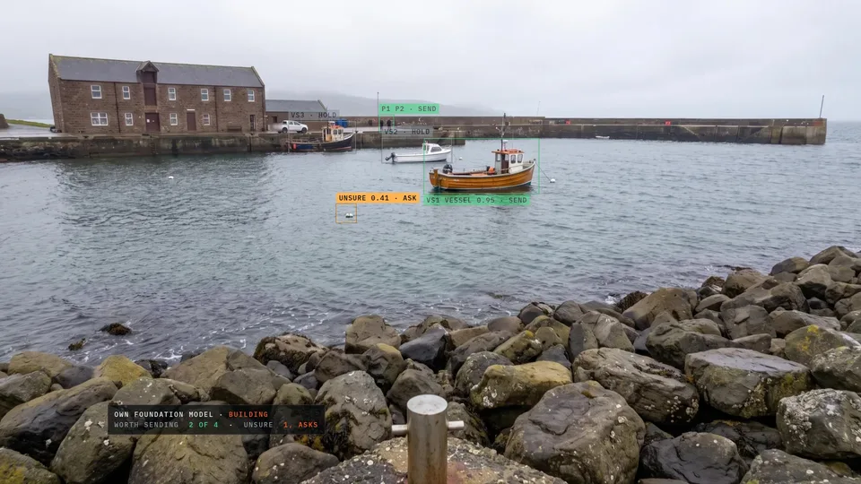
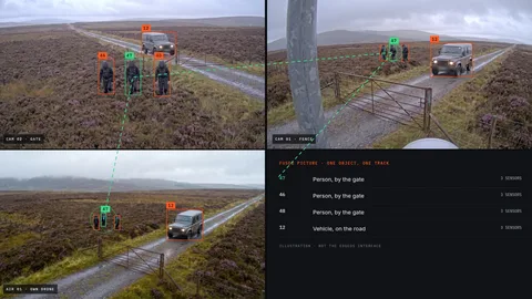
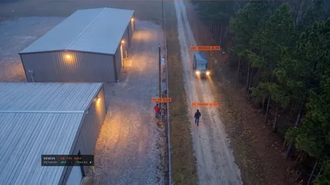
Detection and tracking on the node, with the network switched off.
It judges what is worth sending, and knows when it is unsure.
HP-FN1 and HP-FN1 Micro, or the edge compute a platform already carries.
IP, GMSL, infrared and thermal, and drone video with its position data.
Anything that reports a measurement, one adapter per sensor type.
Several sensors feed one node at once.
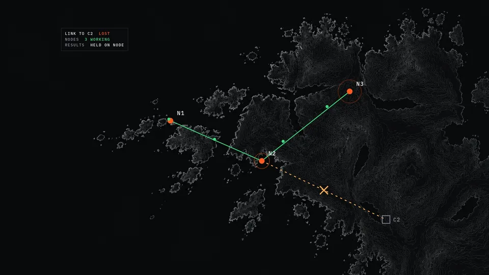
Detection, tracking and fusion run with the network switched off.
Every find carries a place on the ground, not just a box on a frame.
Built to see one person or vehicle in several sensors as one track.
EdgeOS shows what needs a look. People decide what happens next.
The unit sets what may be sent, when, and over which link.
Tracks and events instead of raw video, at a fraction of the bandwidth.
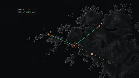
When the link drops, results wait on the node and go when it returns.
Into the C2 and mission systems the unit already runs, Palantir Foundry included.
Earth imagery: NASA Visible Earth
The same EdgeOS on every node and platform, wherever it is set down or carried. Drag to turn the earth, or pick land, sea or air below.
Illustrative only, not to scale. Not real deployments, sites or customers.
High ground
Three nodes along one ridge line.